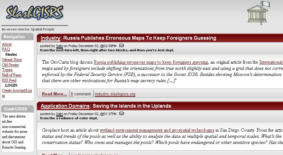
Slashdot for GIS?
Well, there aren't many discussions yet, but SlashGISRS is using the same website engine. Where is the best discussion forum for GIS in the general perspective? I tend to spend time on the ESRI Developer Network (despite it's limited Java and Avenue coverage) or the Google Earth "BBS", but neither of those is really a general purpose site.
What makes Slashdot Slashdot is the community. There's enough people posting stories and commenting on them that it actually ends up getting interesting information fast. So, while using the same software is great, SlashGISRS (why the rs?) needs commenters and submitters to be worth going to. Aggregation without editors is the other approach, and there may be some smarts that can be put in there to keep the most interesting and recent stories up there, but that's not as easy as it sounds.
3 comments:
RS probably stands for Remote Sensing, no?
Actually I've been very disappointed with SlashGISRS. All it seems to be is a copy of Planet Geospatial, but even then they are a couple days behind that.
Probably correct on the remote sensing angle... I think the difference is that SlashGISRS has the potential to be moderated, although it requires a community to make it work, whereas Planet Geospatial is just dumping in the feeds. Both are valid models, but the Slash model is a lot harder to make work.
True, but as you say Slash only works when the community takes part. It hasn't interested me as of yet probably because of the lack of user submitted stories. It really is just an echo chamber right now.
Hope that changes....
Post a Comment